
AvoMap
https://avomap.com/Turn your adventures into animated 3D map videos — no subscription, pay only when you render
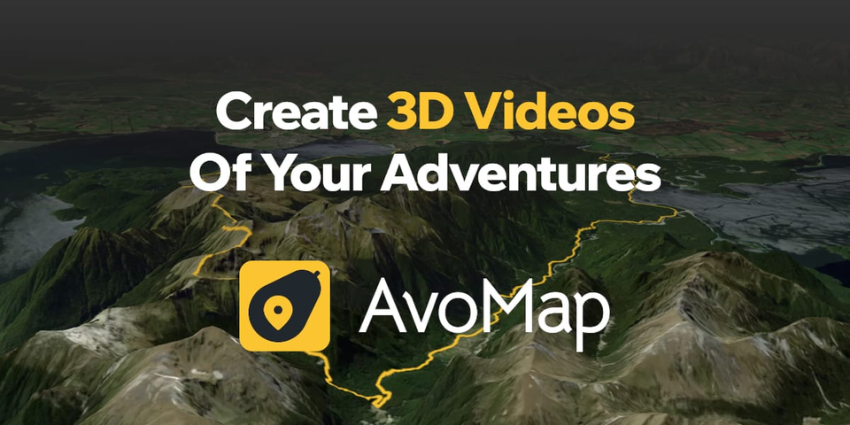
Your Flat Map Is Boring. AvoMap Fixes That.
You just finished an epic bikepacking trip across three countries. You want to share the route. So you screenshot Google Maps and slap it on Instagram. Nobody cares. The terrain is invisible. The story is dead.
AvoMap exists because static maps don't capture what it actually felt like to climb those ridges, fly between continents, or wind through jungle trails. It renders your route as a cinematic 3D animated video - complete with camera fly-throughs, elevation charts, and smooth transitions between segments.
How It Actually Works
The workflow is dead simple:
- Pick your activity type.
- Set origin and destination (or upload a GPX/KML file).
- Hit play for an instant preview.
- Tweak camera angles, duration, markers, and style.
- Export at up to 4K and 60 FPS.
That's it. No video editing skills required. No After Effects tutorials. No subscription draining your account every month.
Combine Flights, Drives, Rides, and Walks in One Video
Here's where it gets interesting. Most route tools handle one mode of transport. AvoMap lets you stitch together flights, road trips, cycling routes, and walks into a single seamless video. Flying from London to Bangkok, then driving to Chiang Mai, then hiking a mountain trail? One video. Smooth transitions. 7,695 airports to choose from for flight segments.
Full Camera Control, Segment by Segment
Each segment of your route gets its own camera settings. Slow down the dramatic mountain pass. Speed through the highway stretch. Tilt the camera to show elevation. Spin it for a panoramic reveal. The Dynamic Camera mode follows your path from the sky and adjusts angles automatically for a cinematic feel.
Brand It Your Way
AvoMap supports white-labeling. Remove the default logo, upload your own brand, resize and reposition it per frame. Race organizers, content creators, and marketing teams use this to produce client-ready videos without a "made with..." watermark cluttering the output.
12 Map Styles, 100+ Symbol Presets, Custom Icons
You get 12 base map styles, over 100 marker presets for points of interest, 22 color options, and the ability to upload your own PNG, JPEG, WEBP, or SVG icons. Elevation charts animate automatically with one click. Custom intro and outro animations with overview effects give context to your audience before the route begins.
No Subscription. Seriously.
The editor is completely free with zero restrictions on settings or preview time. You only pay when you render a final video - one render credit per export. No monthly fees. No hidden costs. In an industry obsessed with recurring revenue, AvoMap bets on a pay-per-use model that respects your wallet.
Export for Every Platform
Landscape, portrait, or square - AvoMap exports in all formats so your video is ready for YouTube, Instagram, Twitter, or anywhere else you post. Race directors, travel YouTubers, and trail running channels already use it for course previews, live briefings, and trip documentation.